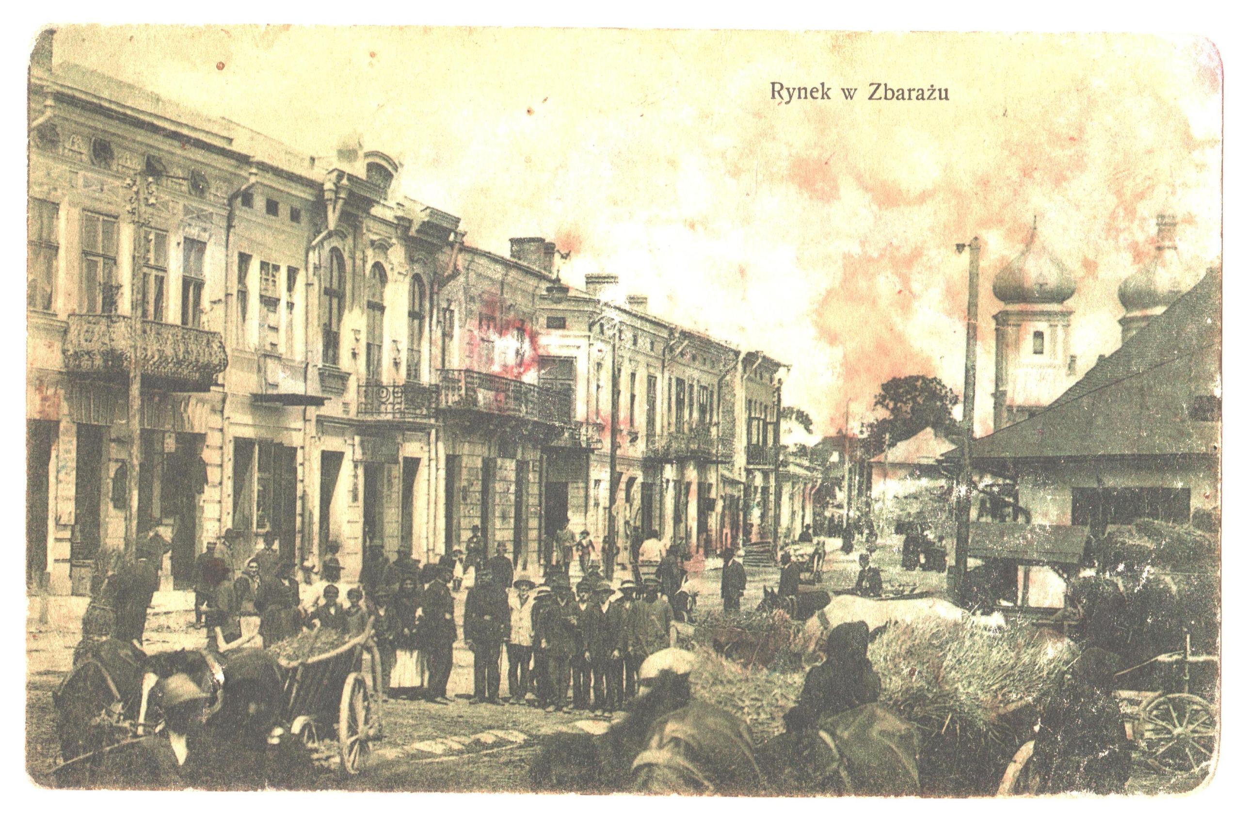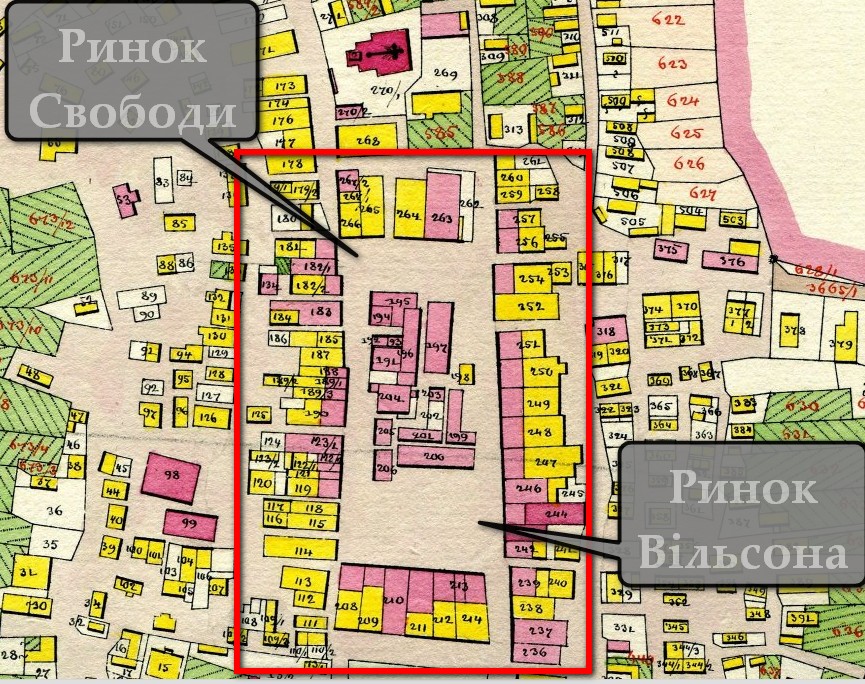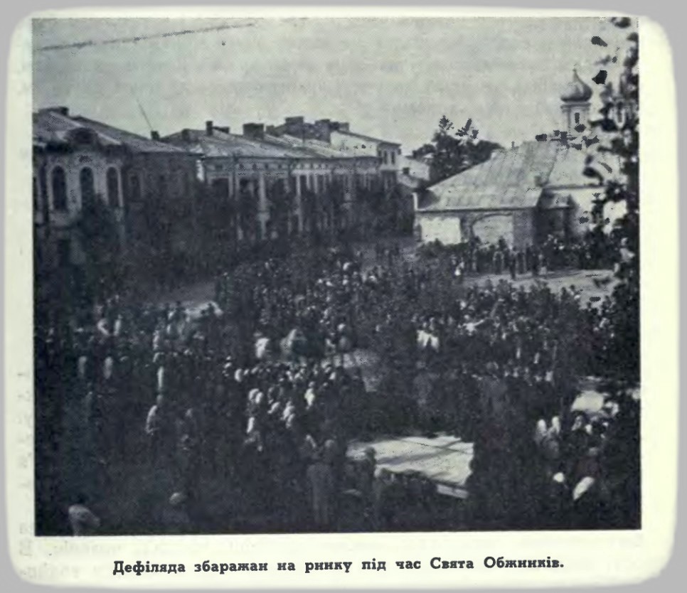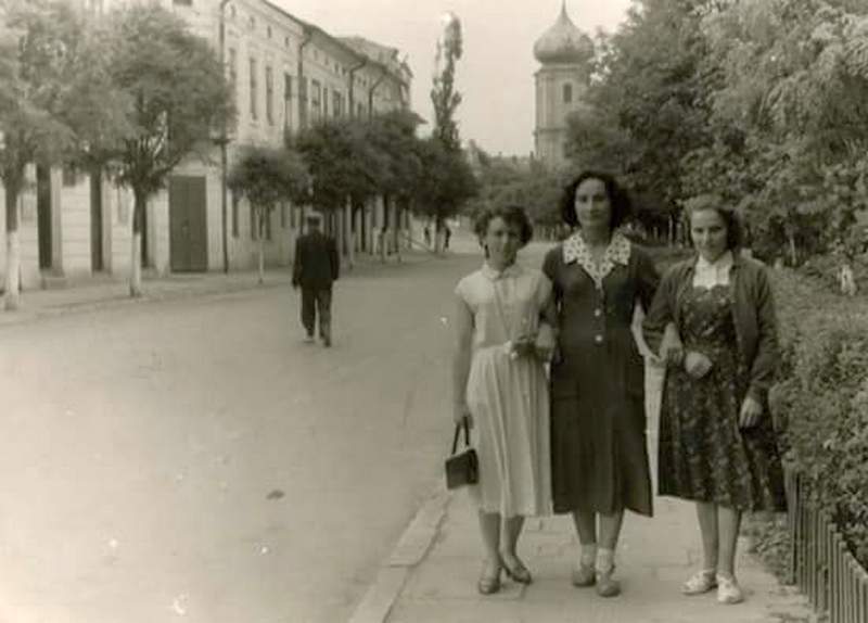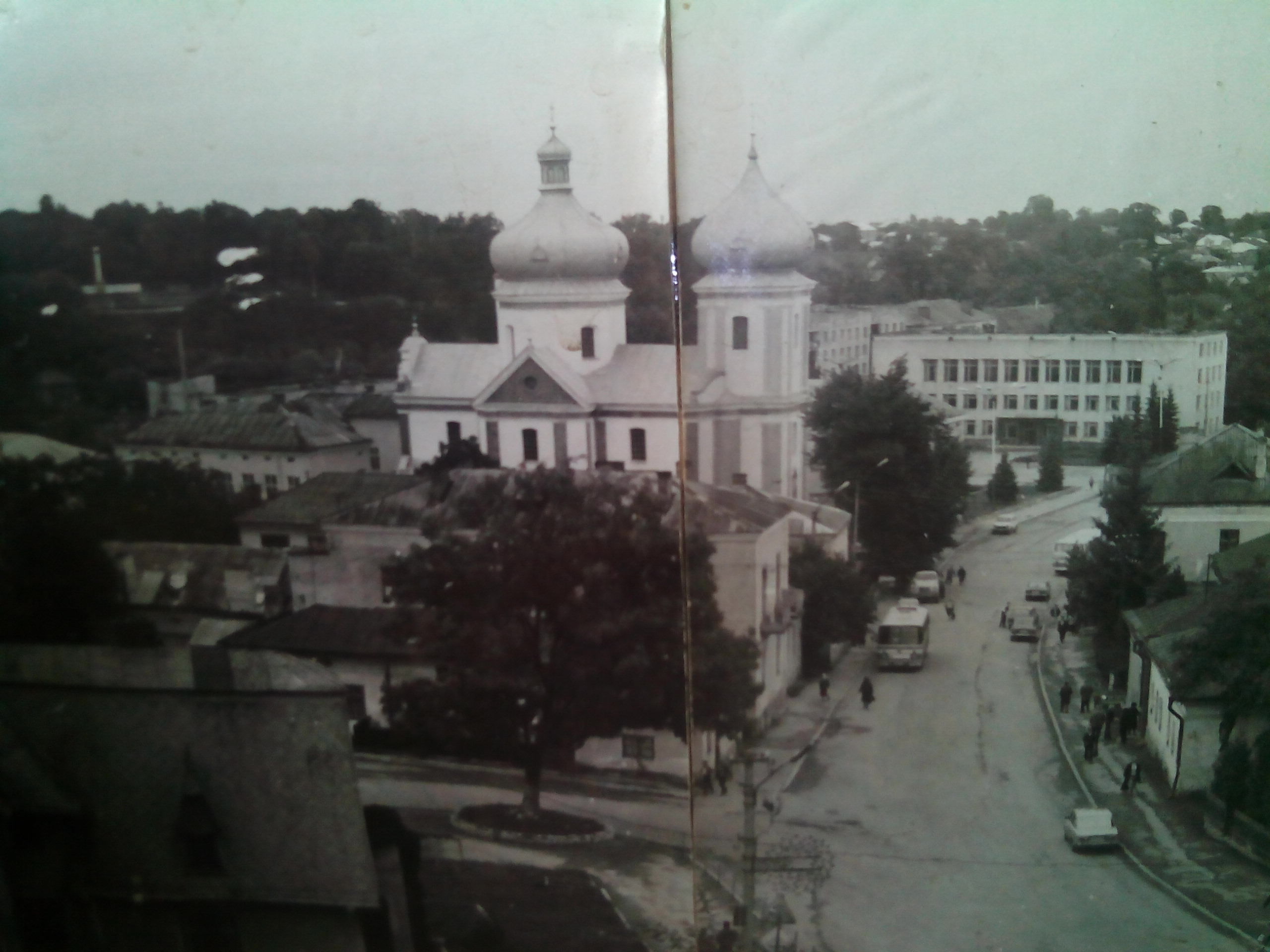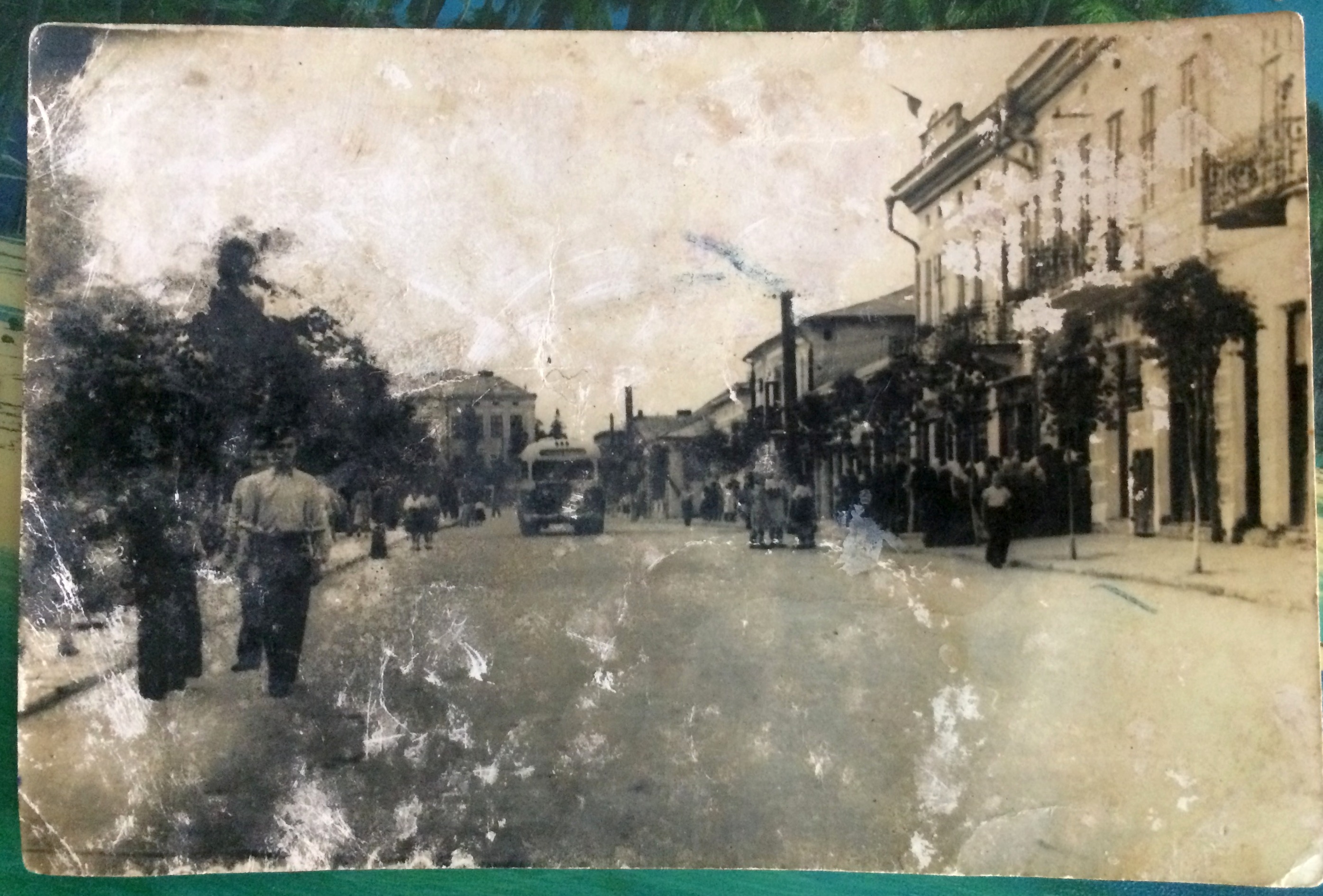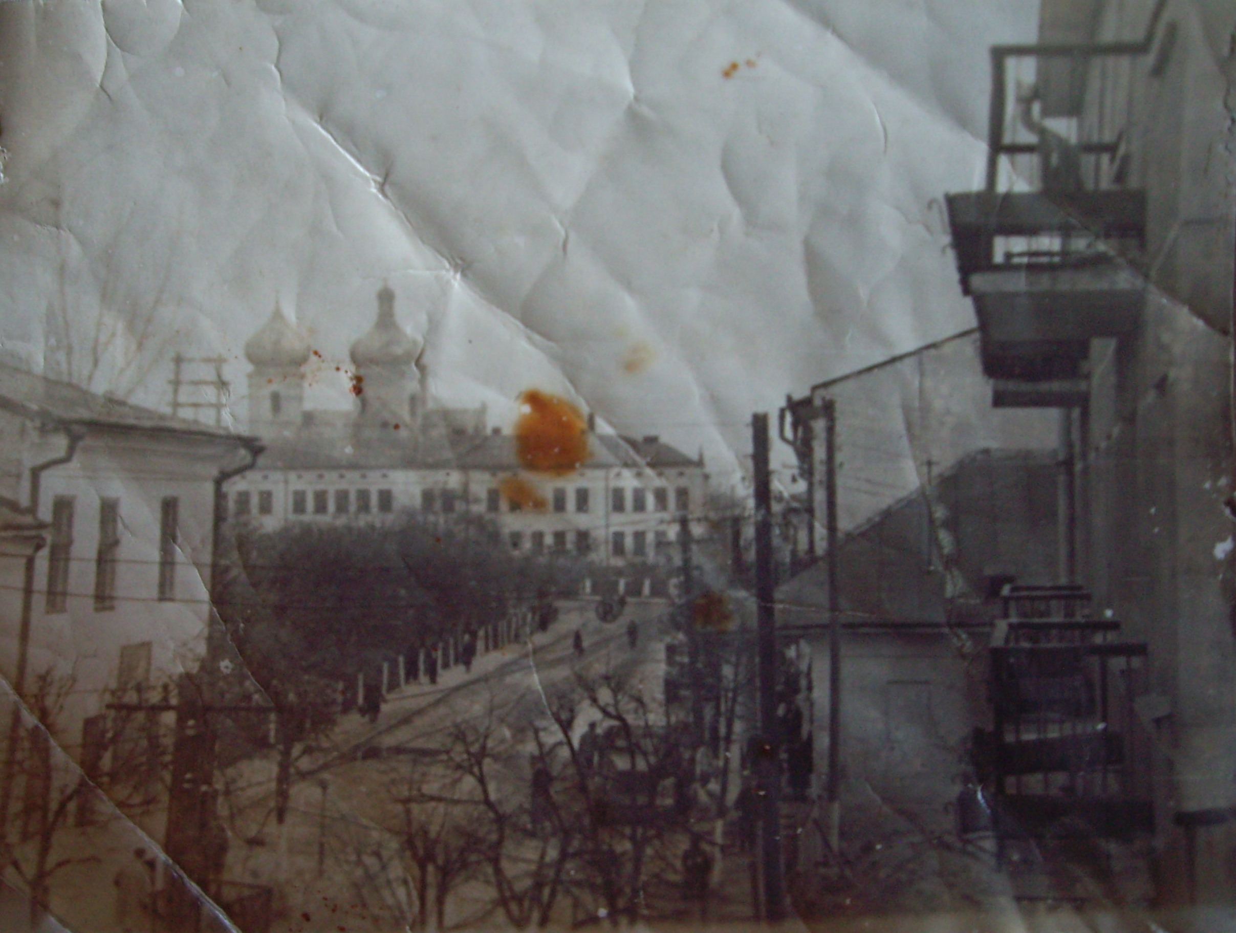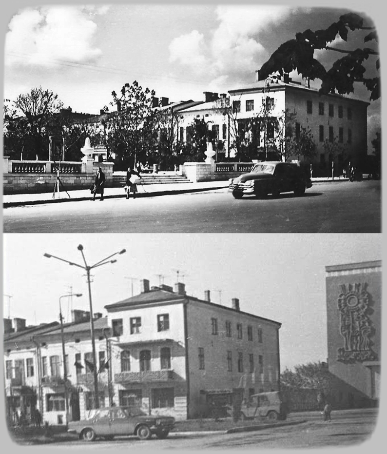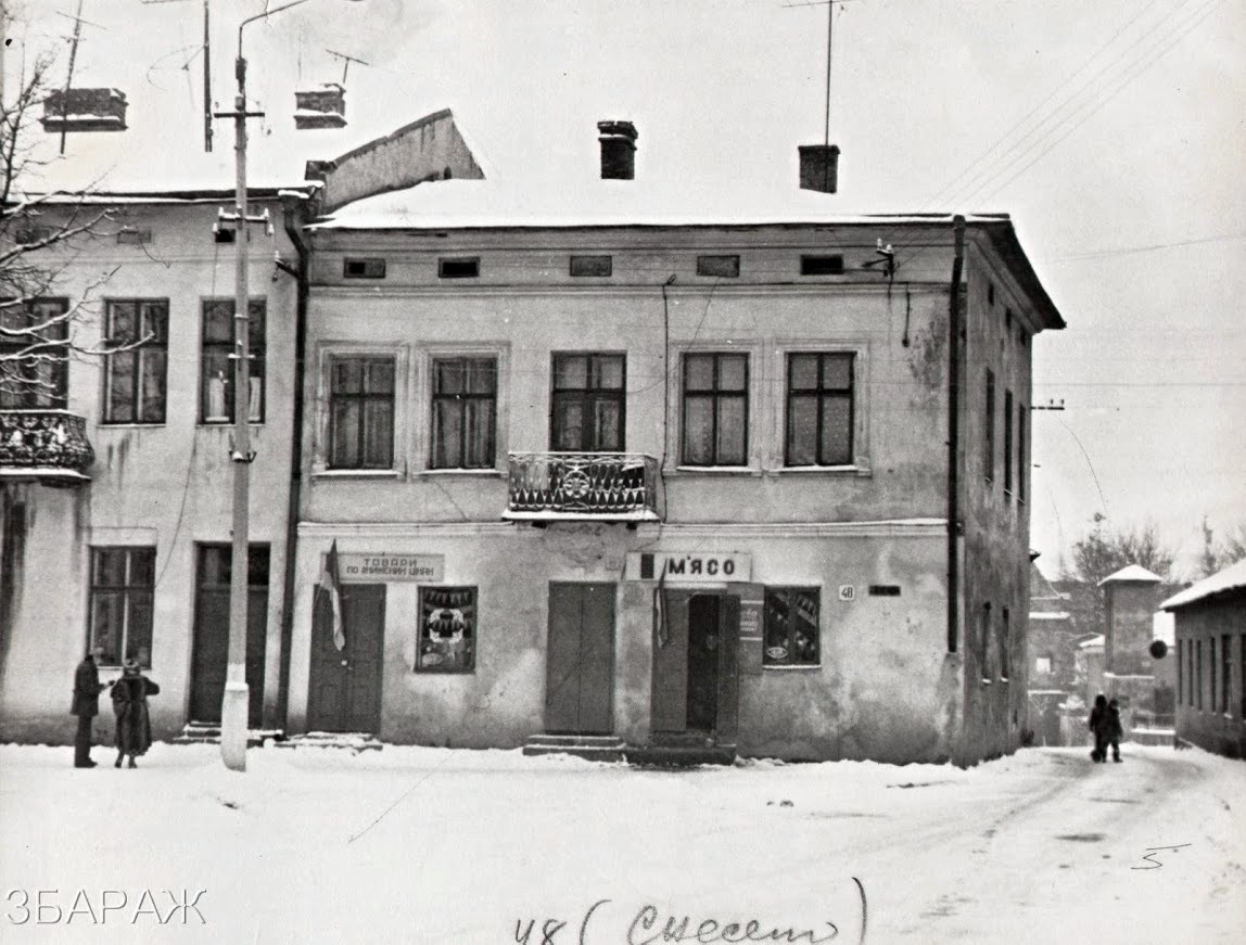
The first documentary and cartographic reference to the perimeter of the Market Square in our town dates back to the second half of the 18th century, when on the so-called “map of Ober-Lieutenant Friedrich von Mieg, 1778–1783” the elongated, north–south oriented rectangle of the Market was depicted. It is obvious that after the destruction of the urban fabric of Zbarazh’s central historic part by the troops of Hetman Petro Doroshenko and Ottoman Vizier Ibrahim Shyshman in 1675, the Grand Crown Hetman and then-owner of the Zbarazh Principality, Prince Dmytro-Jerzy Wiśniowiecki, having obtained a 12-year tax holiday for the town’s reconstruction, first of all rebuilt the Market core. Therefore, this development may be dated to the second half of the 17th century (1675–1682). However, studies by Lviv architects in 1982 pushed this process almost a century further back.
In 1982, as noted by the well-known architect Yurii Verbovetskyi, “the Lviv Comprehensive Architectural and Restoration Workshop of the Ukrproektrestavratsiia Institute under the State Construction Committee of the Ukrainian SSR carried out an inventory of the central part of Zbarazh.” The team of renowned Lviv scholars and architects led by Ivan Mohytych published “Pre-project Studies…” in which several houses on the Market were dated to the 16th century. Among them: House No. 36 (today No. 28 — now lost) was noted as “fixing the urban structure of the 16th century, built upon old cellars. Interior — Renaissance.” In other words, the oldest and authentic elements of basements with “cross vaults” and other architectural features of these houses enabled the architects to attribute them to the Renaissance of the late 16th century. In the section “Stylistic Characteristics of Development,” Verbovetskyi also observed that “in a house … on Ivan Franko Square, structures of the 16th–17th centuries were identified, which allows us to date this development to the Renaissance. They have survived with significant alterations,” that is, they underwent reconstructions in the 18th–19th centuries.
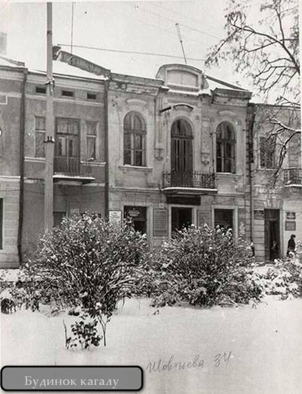
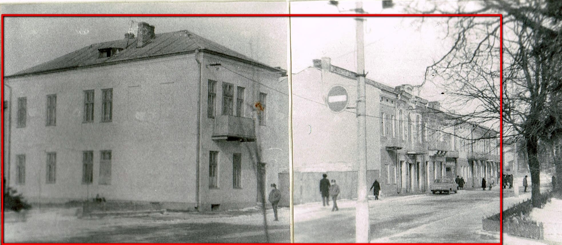
A visible example of this is the southern wall of the Jewish Kahal building, where the masonry of the first floor is clearly seen, and a professional analysis of it could confirm the hypothesis of the above-mentioned architects as a proven fact. The Market perimeter could not have consisted of only four houses, therefore most likely the neighboring buildings also belong to the “High Renaissance,” but the degree of their rebuilding and the inaccessibility of the basements in 1982 prevented identifying the earliest 16th-century elements. A historiographic confirmation of such conclusions may be found in the diary of Erich Lassota, who on July 6, 1589, at a distance of “half a quarter mile” (about 1 km) from the town of Bazaryntsi, saw this very town! And a town, first of all, means its Market Square.
The Franciscan cadastre of 1830–1860 “shows” a large part of the Market houses as masonry (red ink) and only part as wooden (yellow). The fewest masonry houses stood on the northern side — only one, owned by Oziash Shein, examined in 1882 by the well-known archaeologist Adam Kirkor.
In the 1720s, the construction of the town hall began in the center of the Zbarazh Market Square. This work was entrusted to two masters — Andrii Stavar (“master mason”), the second name is unknown. It was “…a stone building on the Market, where the city administration was located… It was in good condition, both inside and outside (around). Here there were two tables, cupboards against the walls, benches, one masonry cellar, another not, windows, shutters…” Its value was estimated at 3,800 zlotys. However, this town hall has not survived (most likely destroyed in subsequent years). The Josephine cadastre (1785–1788) already mentions another town hall, “masonry, but still unfinished, empty” [Central State Historical Archive in Lviv, f. 19, op. XVII, file I, l. 37]. The Zbarazh Inventory of 1756 mentions 35 “Market houses.” The “Inventory Description of the Town of Zbarazh” of 1835 describes the town hall as a traditional type with small premises intended for the city chancellery, courtroom, scales, and other economic functions [Ossoliński Collection, No. 6505/III, pp. 17–19]. An obligatory attribute of the Market Square was a well, whose existence we learn from the “Good Order Decree for the Town of Zbarazh” issued by J. Potocki in 1721, where he ordered two wells in town “…similar to that on the Market.” A “well with a roof on the Market” also appears in the Josephine cadastre [CSHA in Lviv, f. 19, op. XVII, file I, l. 38].
The southern part of the Market Square in sources of the 1920s is referred to as “Wilson’s Market.” It is likely that it received this name in honor of the 28th President of the United States, Nobel Peace Prize laureate, participant of the Paris Peace Conference, co-author of the Treaty of Versailles, and initiator of the League of Nations — Thomas Woodrow Wilson. The attention to his figure in interwar Poland was not accidental, since it was thanks to Wilson’s “14 Points” that “The peoples of Austria-Hungary, whose place among the nations we wish to see safeguarded and assured, should be accorded the freest opportunity for autonomous development” (Point 10). And Point 13 clearly stated that “An INDEPENDENT POLISH STATE should be erected which should include the territories inhabited by indisputably Polish populations, which should be assured a free and secure access to the sea, and whose political and economic independence and territorial integrity should be guaranteed by international covenant.”
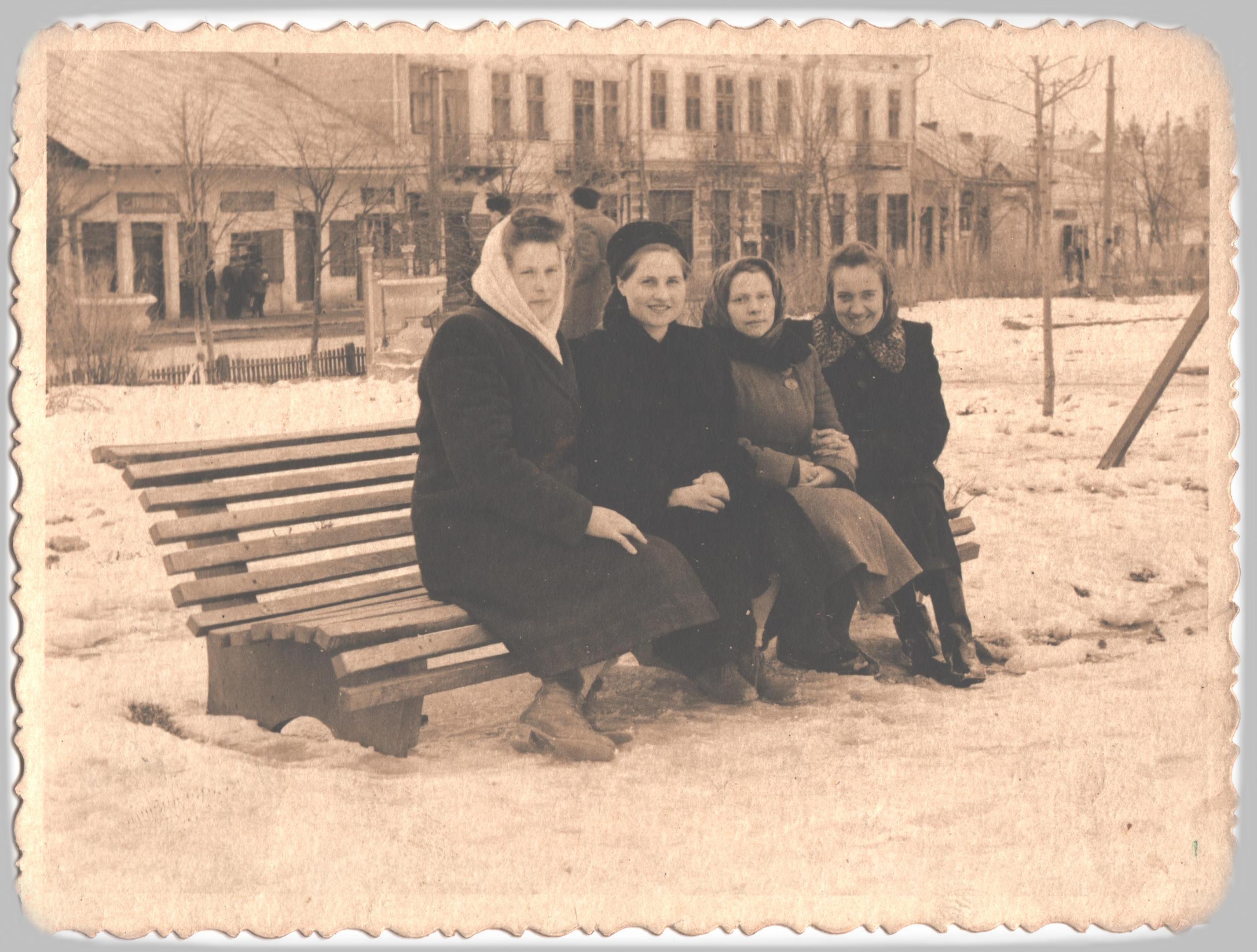
Therefore, in 1924 one of Warsaw’s squares was named after this U.S. president, and in 1933 the Dworcowa Square (under Austria — Stationplatz) in Lviv was also renamed Wilson Square (the first name Thomas was rarely used). While the known name of the northern part of Zbarazh Market was linked to the abolition of serfdom and obtaining “freedom” (later renamed Pieraćkyi Market), the earlier name of its southern part has not yet been established. Wilson Market in Zbarazh was bounded by buildings that today are monuments of cultural heritage of local significance at 16–28 Ivan Franko Square (western side, heritage numbers 143–146, 148, 149) and 30–42 (southern side, heritage numbers 150–154). During the German occupation of the town (1941–1944), the central square bore the name “Hitlerplatz,” under the Soviet occupation (1944–1991) — October Square, and since 1991 — Ivan Franko Square.
Among the preserved buildings of the western part of the Market, the KAHAL building (the council of the Jewish community) at 26 Ivan Franko Square stands out architecturally and historically, although at the end of the 19th century this building belonged to Meyer Auerbach, and the “Zbaraż Stadt Israel Gemeinde” (Jewish community of Zbarazh) was then located in a wooden house under cadastral No. 126 above the synagogue (on Sh. Aleichem Street).
In the northern part of the square in 1982, on the site of the sports field of the “second” school, a monument to V. Lenin was erected, which ten years later was dismantled and replaced with a monument to Ivan Franko. This monument to the poet and public figure, who visited Zbarazh more than once, is a monument of cultural heritage of monumental art with protection number 1443-M (of local significance), taken under state protection by order of the Department of Culture of the Ternopil Regional State Administration of October 18, 2005, No. 112. The monument depicts a full-figure sculpture of the Kamenyar in an embroidered shirt, jacket with a cloak thrown over his shoulders, his head slightly bowed to his chest, his left hand on the forearm of the right, which holds a book with the index finger between its pages. It was installed in 1992 on the eponymous square of Zbarazh, in front of the former school that bears his name. Sculptor — V. Odrekhivskyi, architect — V. Skochlias.